 Parks & Legends

National & State Parks
When to Go & Crowds
Photo: NPS Photo by Kelsey Graczyk, 1_Cadillac Summit (Acadia). Public domain.
The month often shapes a national park trip more than the trail does. Many high-elevation roads close for the winter and reopen only after the snow is cleared, and the National Park Service keeps live pages that list what is open: see its Yosemite winter page (Tioga Road and Glacier Point Road) and its Rocky Mountain road status page (Trail Ridge Road).
Low-elevation desert and subtropical parks tend to follow the opposite calendar. In places such as Death Valley, Joshua Tree, Saguaro, Big Bend and Everglades, summer heat or humidity makes the cooler months the more comfortable time to hike, although those same months can be the busiest. Crowds can be measured rather than guessed: the National Park Service publishes monthly recreation-visit counts for every park in its Visitor Use Statistics.
Our seasonal guides combine those official visit counts with NPS road and conditions pages, so that open roads, weather ranges and crowd levels can be weighed side by side. Each guide says when its figures were last checked and describes historical ranges, not forecasts. The National Parks A–Z index shows the quiet and busy months for each of the 64 parks, and the Find Your Park tool can filter parks by crowd level.
Guides & Reference Tools
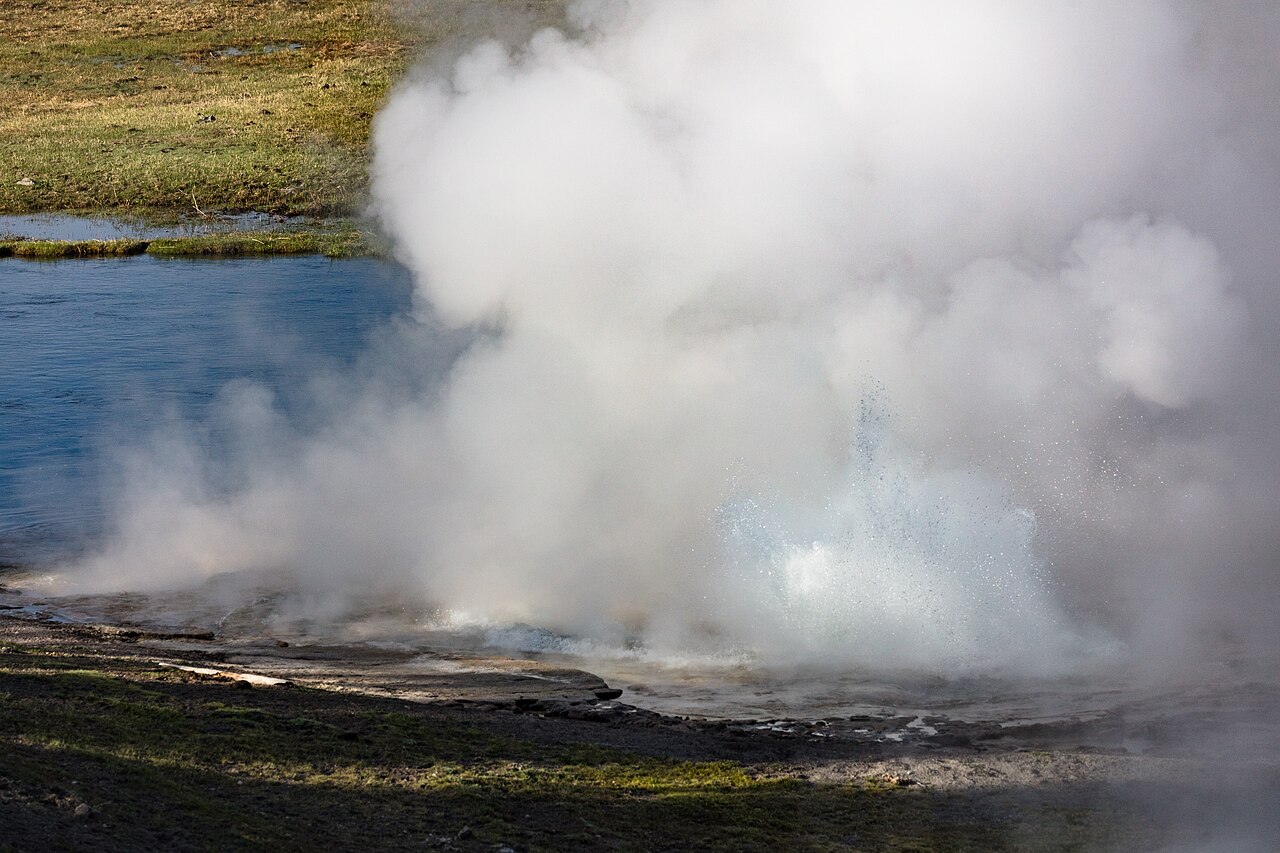
Park Season Guides
Best Time to Visit Yellowstone: Month-by-Month & Road Dates
Find the best time to visit Yellowstone month by month: official 2027 NPS road opening dates, Mammoth and Lake weather, wildlife, lodges, and fees.
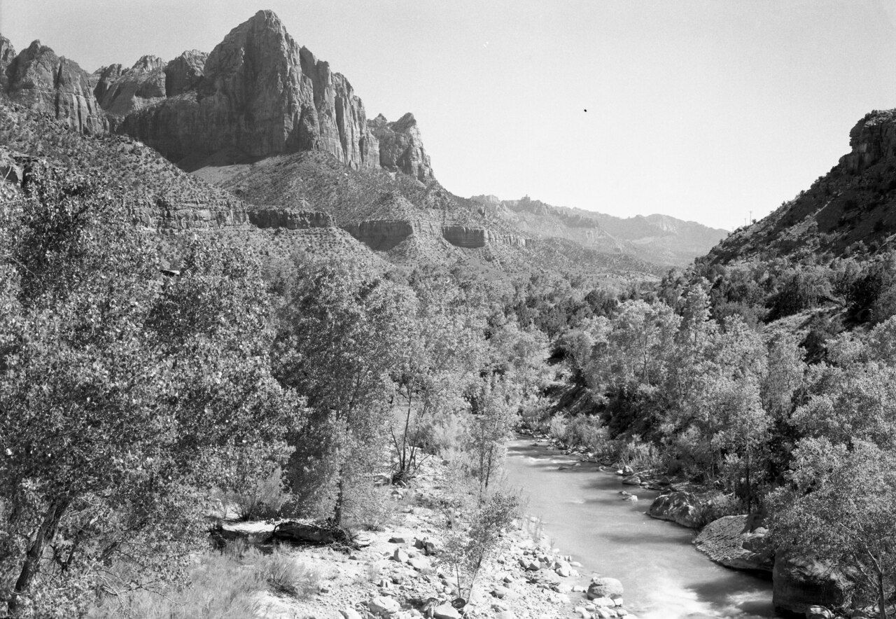
Park Season Guides
Best Time to Visit Zion National Park (Month by Month)
Find the best time to visit Zion National Park month by month: official NPS temperatures, shuttle schedule, Narrows snowmelt closures, and crowds.
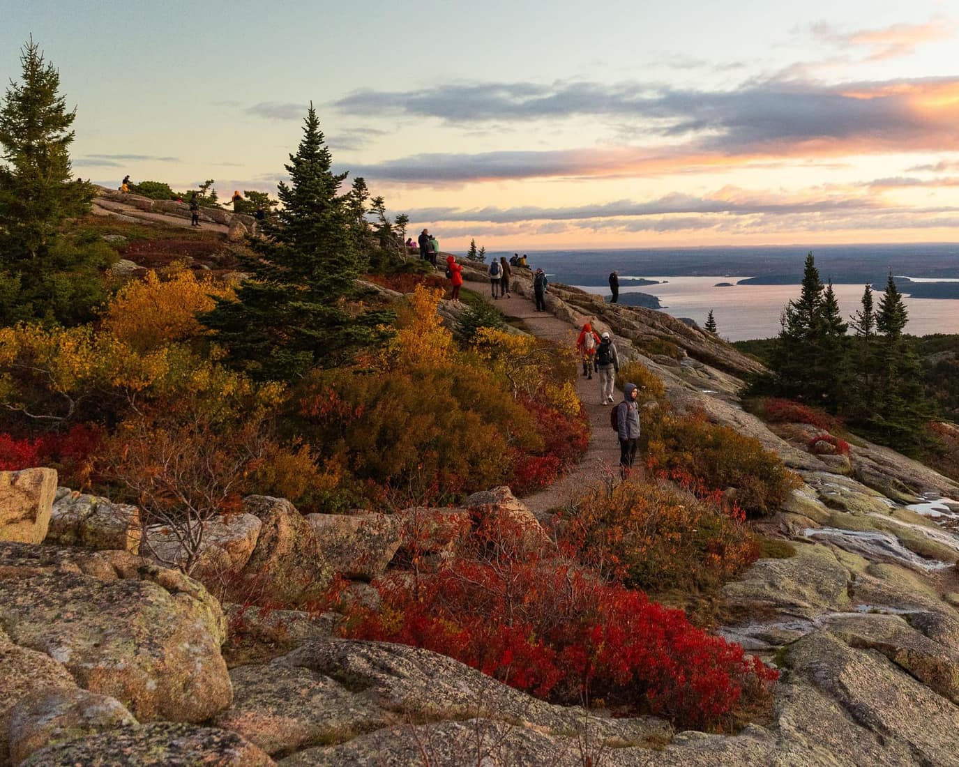
Crowds & Visitation Data
Least Crowded National Parks (NPS Visitation Data, Ranked)
Find the least crowded national parks in the U.S.: all 64 parks ranked by 2025 NPS visits, plus the Top 10 busiest parks and 7 quiet Lower 48 trips.
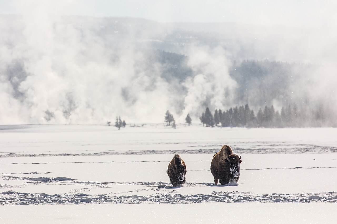
Winter Travel
National Parks to Visit in Winter: Open vs. Closed
Compare 12 national parks to visit in winter (Dec–Mar) across warm tropics, mild deserts, and snow parks, with verified NPS road closures and fees.


