 Parks & Legends

National & State Parks
Road Trips
Photo: NPS Photo, Double O Arch (Arches). Public domain.
Linking several national parks into one loop, such as Utah's Zion, Bryce Canyon, Capitol Reef, Canyonlands and Arches, turns driving time and pass eligibility into the backbone of the trip. Two parks can look close on a map, yet on two-lane highways with climbs, scenic pullouts and entrance lines the transfer can take half a day.
Road trip guides in this section lay out a start-to-finish driving order, approximate highway mileage between gateway towns, sensible overnight bases and where seasonal closures or timed-entry reservations fall along each leg. They also work through the fee math. The National Park Service sells an America the Beautiful annual pass for U.S. residents, and describes a separate nonresident annual pass and a per-person nonresident fee at 11 parks on its nonresident fee page; the right choice depends on how many fee-charging parks the route includes.
Distances on the site are approximate road miles, not promised drive times, because speed varies with season, traffic and construction. Use the Road Trip Cost Planner to total entrance fees for your parks and dates, the map to see the geography, and the printable Trip Planner Kit to keep daily mileage and confirmation numbers on paper.
Guides & Reference Tools
Road Trips
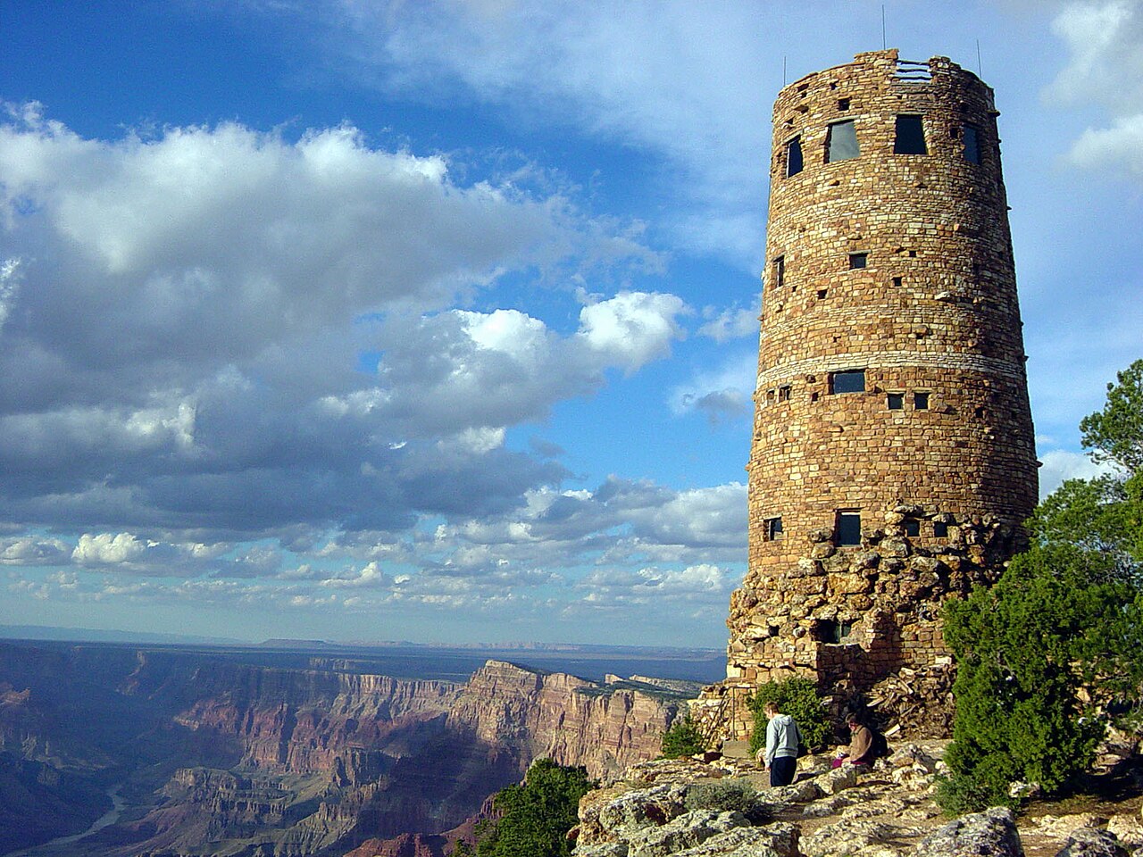
Grand Canyon to Arches: 10-Day Southwest National Parks Road Trip
A 10-day Southwest national parks road trip from Grand Canyon to Utah's Mighty 5: NPS drive segments, $185 vs $80 pass math, 2026 rules and heat safety.
Road Trips
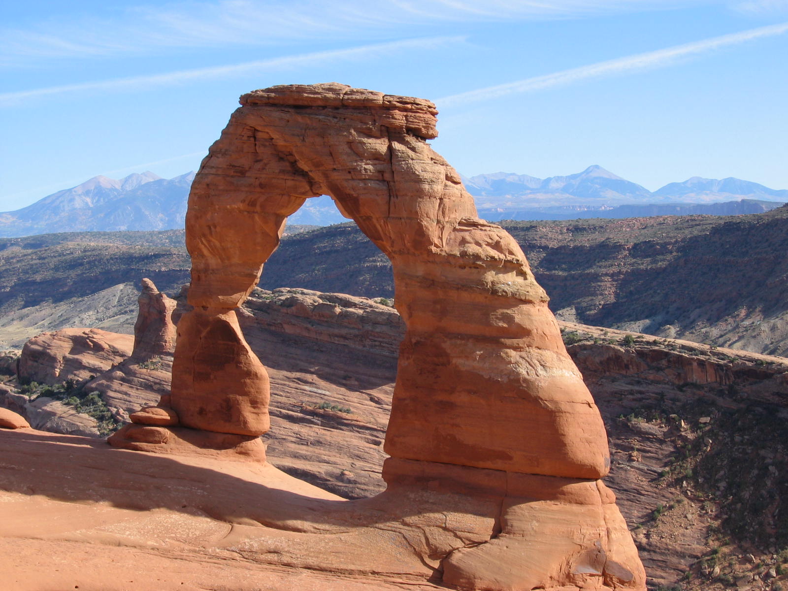
Utah Mighty 5 Road Trip Itinerary: 7 Days With Drive Times
A Utah Mighty 5 road trip itinerary for 7 days, west to east: NPS-sourced drive times, entrance fees vs the annual pass, Arches 2026 rules and heat safety.


More ways to plan
- Road Trip Cost Planner — total entrance fees for your parks and dates, and whether a pass pays off.
- Find Your Park — filter all 64 national parks by region, crowds, fees and reservations.
- National Parks A–Z — a page for each of the 64 parks, with quiet months, nearest airports and nearby parks.
- Map of the 64 parks — see how the parks sit relative to each other.
- National Park Trip Planner Kit (free printable) and the 64-park checklist.